|
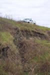 |
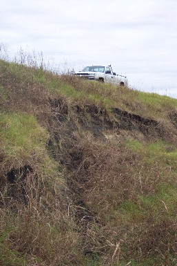
Site #3 -
near Kyle
During the heavy rains in
Nov.2004,
the entire backside of this dam gave way in a slide. This
is why it is important that we maintain structures.
Plum Creek Conservation
District
has applied for
Emergency Watershed Protection assistance
to help repair
this structure.
|
|
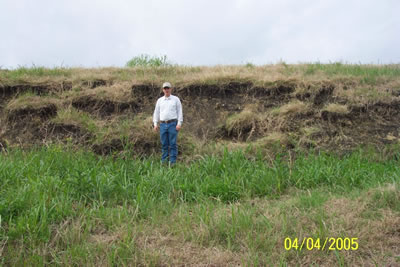
Site #3 - near
Kyle
Another picture of the slide just a few months later.
PCCD has plans for repair. |
 |
|
 |
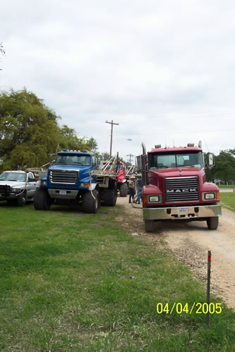
All Sites
Fertilizer/Herbicide
trucks, preparing to spray PCCD dam sites. |
|
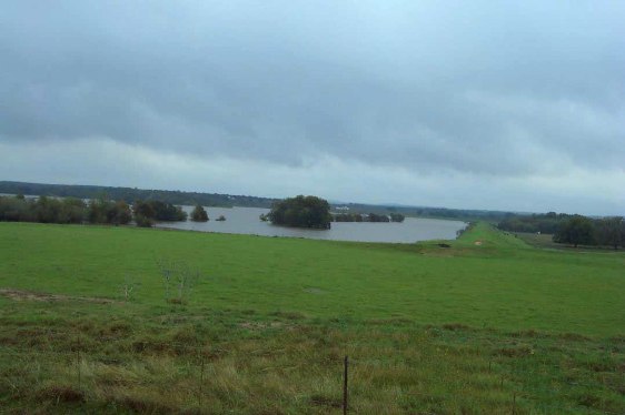
Site#28 -
near McMahan
Retaining floodwaters from heavy rains in November 2003
|
 |
|
 |
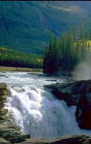
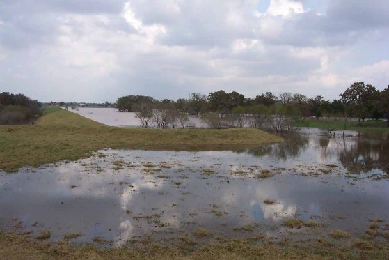
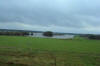
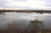
Site#31
-
near Tilmon
At full capacity,
the waters have reached the emergency spillway. |
|
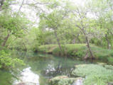
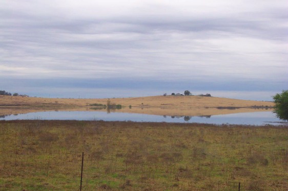
Site #34 -
West of Lockhart
The purpose of these lakes
is to catch flood waters to be released at an engineered rate
|
 |
|
 |
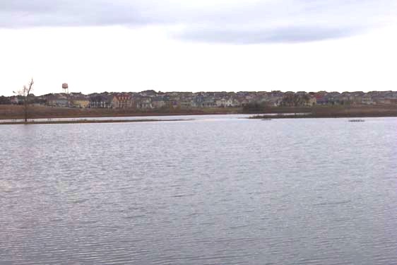
Site # 1 -
The Plum Creek Development and Golf course in Kyle
This photo shows the influx of development around the lake
and the importance of their proper maintenance.
|
|
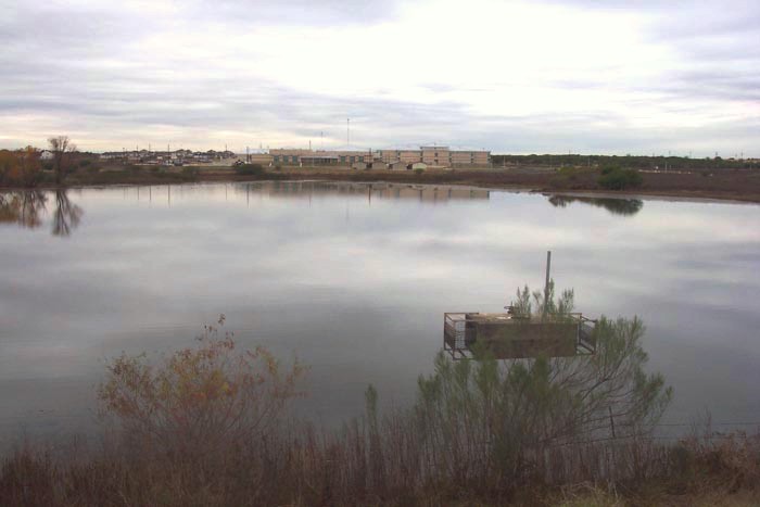
Site #3
This shows a small lake with the new Kyle High school in the background.
It also shows the principal spillway, which goes to a concrete drain
underwater.
When a dam catches too much water for the principal
spillway to release, the water backs up to an emergency spillway, as
in Site 31 near Tilmon.
|
 |